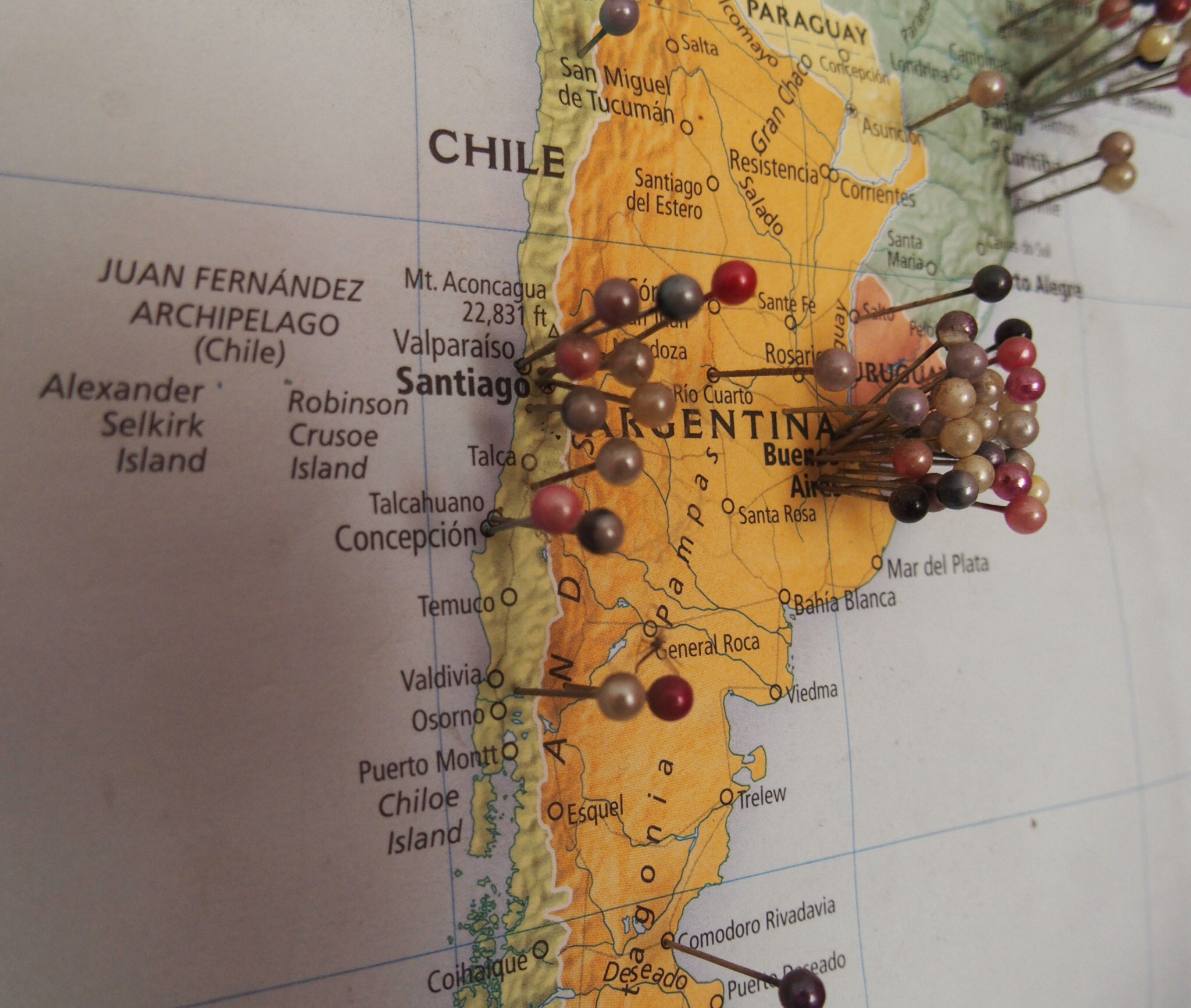
ROUTE MAP – SOUTH AMERICA
To view an interactive map of my route around South America (using Google Maps Engine),
click HERE.
To add clarity to my convoluted route, I have colour-coded the pins to make it easier to follow:
- RED pins indicate my initial route from Buenos Aires until Pisac (near Cusco), where I stopped and then turned around (Nov 12 – Aug 13).
- GREEN pins indicate my route south from Pisac to Santiago (Aug-Dec 13).
- BLUE pins indicate my route north from Santiago, back to Pisac (Dec 13 – Feb 14).
- ORANGE pins indicate my route north from Pisac, into new territory as far as the Equator (Mar – May 14).
- PURPLE pins indicate my route south back to Lima (Jun -Jul 14).
- YELLOW pins indicate locations visited throughout the trip without my moto.
(Please note that many of the locations indicated are not precise. In due course I intend to refine the data in the map, so that it may be of greater use to travellers on a similar route.)

Leave a comment